
Our presentation
To learn more about the project, its key features, advantages, and capabilities, please view our presentation. In it, we’ve detailed the core concept, described the key implementation stages, and summarized all the necessary information in a convenient and visual format. This presentation will help you better understand our approach, evaluate the proposed solutions, and answer key questions.
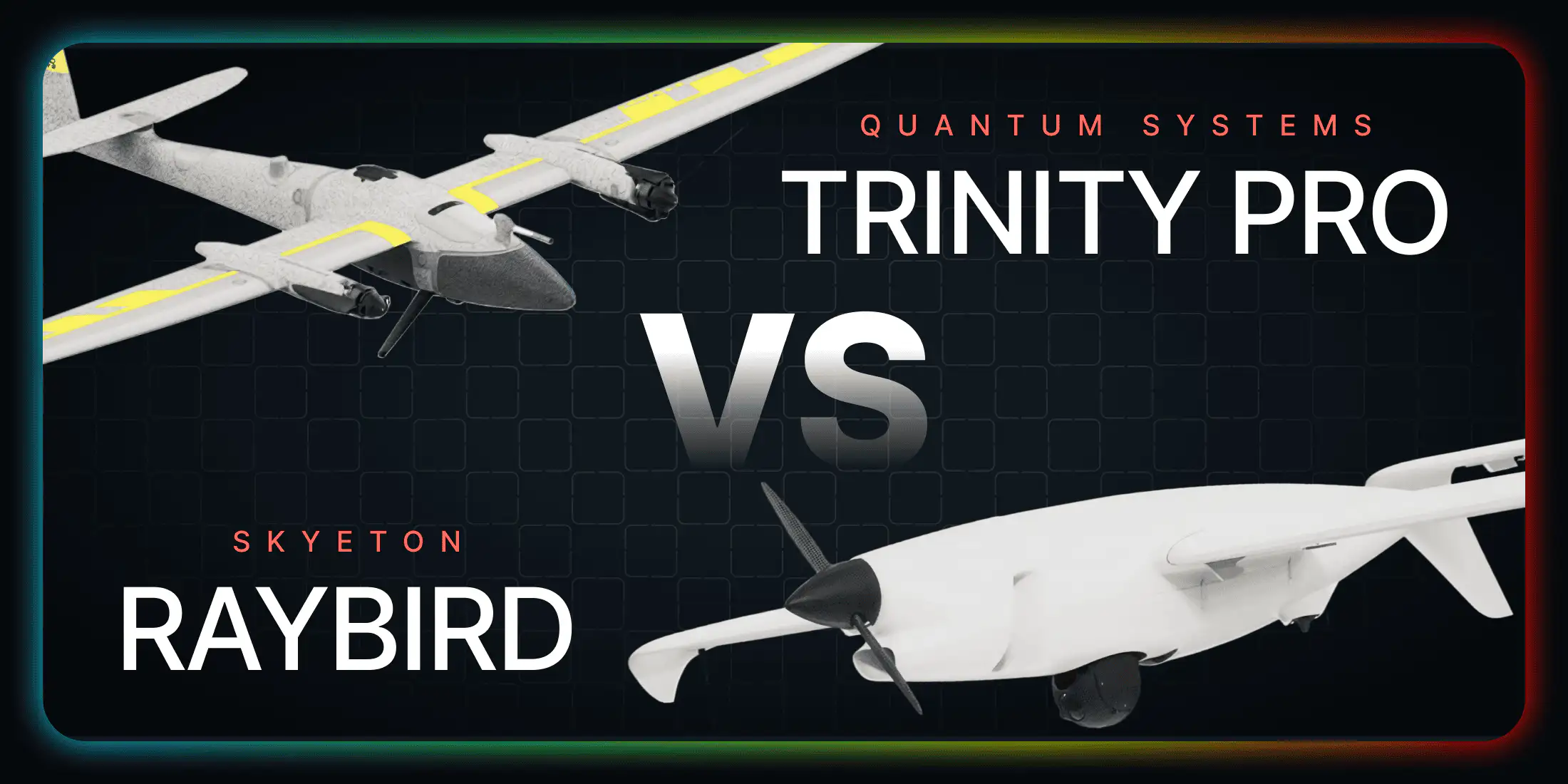
The Quantum Systems Trinity Pro is one of the most recognized professional VTOL fixed-wing drones in Europe — made in Germany, EASA-certified, and widely used across surveying, mapping, and light surveillance applications. The Skyeton Raybird targets a different operational category entirely: persistent, long-range aerial monitoring where staying in the air for hours — not minutes — is the core requirement. Both are serious platforms. But they are built for very different missions.
This comparison breaks down both UAVs across every key specification so you can decide which one belongs in your operation.
Full Specification Comparison
| Specification | Skyeton Raybird | Quantum Systems Trinity Pro |
|---|---|---|
| Max Endurance | 28+ hours | ~90 minutes |
| Max Mission Range | 2,500 km | ~30 km (C2 link) |
| Telemetry Link Range | up to 220 km | 5–7.5 km |
| Max Take-Off Weight | 23 kg | 5.75 kg |
| Payload Capacity | 5–10 kg | ~1 kg |
| Engine / Power | Gasoline EFI 4-stroke (AI-95) | Electric (Li-ion battery) |
| Cruise Speed | 80 / 110 / 140 km/h | ~57 km/h |
| Operational Ceiling | 5,500 m | 5,500 m MSL |
| Operating Temperature | −35°C to +55°C | −10°C to +40°C |
| Launch System | Catapult | VTOL (vertical takeoff) |
| Landing System | Parachute + Airbag | VTOL hover landing |
| Deployment Time | ~25 min | ~10 min |
| Primary Use Case | Long-range ISR, surveillance, rescue | Mapping, surveying, light recon |
| Manufacturing | Ukraine + Slovakia (EU) | Germany |
| EASA Certification | — | C3 (Open A3 category) |
Endurance: The Number That Defines the Mission
The Trinity Pro offers around 90 minutes of flight time per charge. That’s a solid number for a mapping sortie — you can cover 700 hectares, land, download data, and move on. But 90 minutes is not a surveillance platform. It means your coverage window is less than two hours before the aircraft must return, recharge, and relaunch.
The Raybird stays airborne for 28+ hours continuously. A single sortie covers a full day-and-night operational cycle — the kind of coverage that emergency response teams, border agencies, and wildfire monitoring services actually need. To match one Raybird sortie, you would need to launch and recover the Trinity Pro roughly 18 times, with a crew present at the recovery zone every 90 minutes around the clock.
Range and Telemetry: Covering Real Ground
The Trinity Pro operates within a command-and-control link of 5–7.5 km. For a survey crew working a defined project area, that’s sufficient. For a surveillance operator monitoring a river valley, a stretch of coastline, or a forest block — 7.5 km means you’re watching a very small slice of the territory that matters.
The Raybird’s telemetry link reaches 220 km, with a mission range of up to 2,500 km. A single ground control station can oversee operations across an entire region without repositioning. That’s not an incremental improvement — it’s a different class of operational capability entirely.
Skyeton Raybird technical specifications
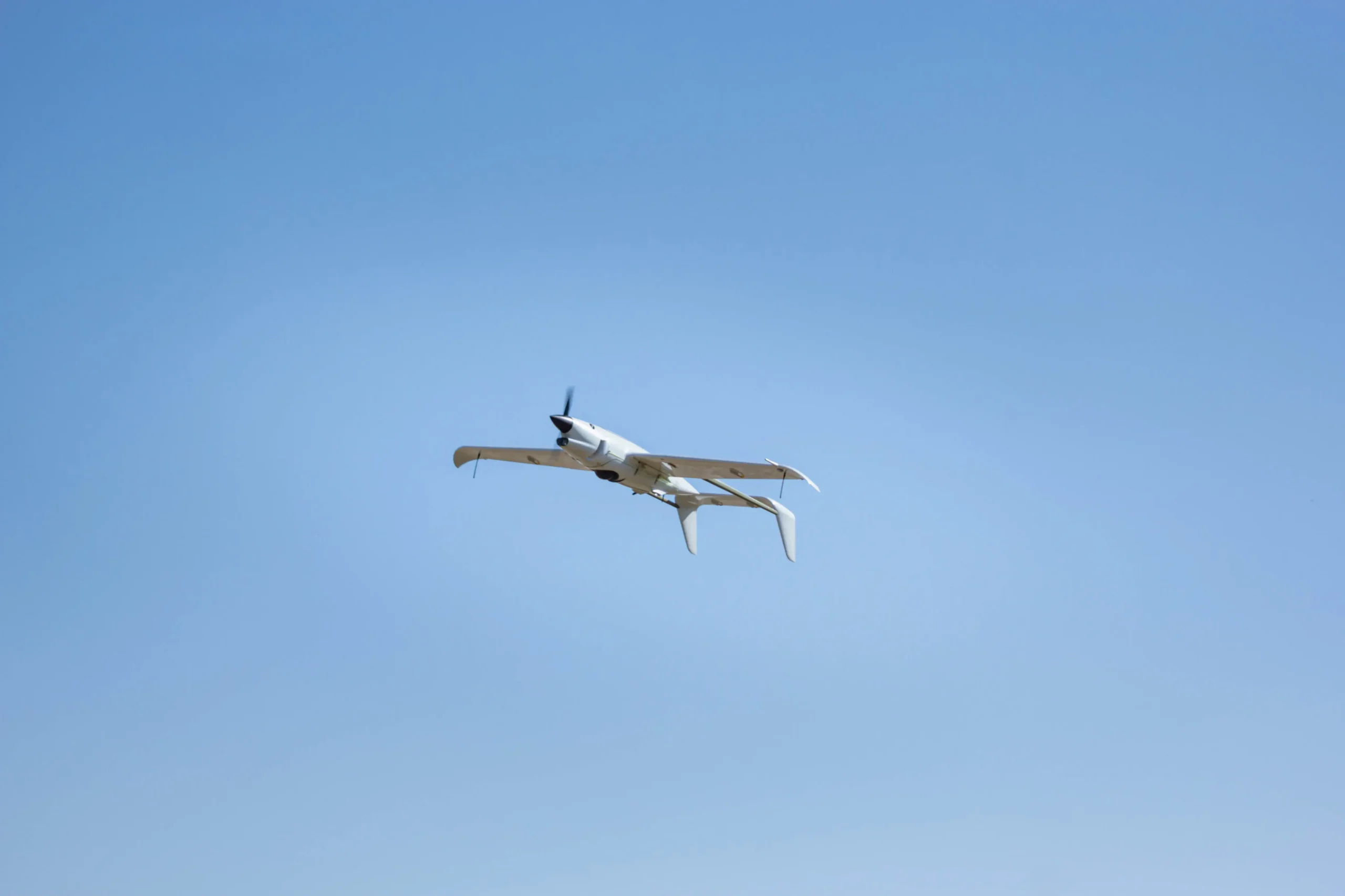
The Skyeton Raybird is a long-endurance fixed-wing UAV developed and manufactured by Skyeton, with production facilities in Ukraine and Slovakia. Designed for mission-critical aerial monitoring, the Raybird operates on a gasoline EFI four-stroke engine, giving it flight autonomy that no electric competitor can match. It is used across wildfire detection, search and rescue, infrastructure inspection, border surveillance, and perimeter observation — any mission where continuous airborne presence is non-negotiable.
TECHNICAL SPECIFICATIONS
Flight Endurance
28+ hours
Wingspan
Wingspan
Max Take-Off Weight
23 kg
Max Mission Range
2,500 km
Operational Ceiling
5500 m
Telemetry Link Range
up to 220 km
Payload Capacity
5–10 kg
Cruise Speed
80 / 110 / 140 km/h
Engine Type
EFI four-stroke engine
Fuel Type
Gasoline AI-95
Deployment Time
up to 25 min
Operating Temperature
-35°C to +55°C
Payload: What Sensors Can You Actually Carry?
The Trinity Pro’s ~1 kg payload limits it to lightweight integrated cameras — useful for photogrammetric mapping but not for carrying professional surveillance hardware. A proper dual-axis EO/IR gimbal with optical zoom and thermal imaging typically weighs 1.5–3 kg on its own.
The Raybird carries 5–10 kg of mission payload. That’s enough for a full surveillance sensor suite: thermal camera, high-resolution EO gimbal, AIS or communications relay, and secondary systems simultaneously. For wildfire detection missions where you need both daylight visual and thermal heat-signature imaging at the same time, only one of these platforms can do it.

Where the Trinity Pro Is Genuinely Better
This is an honest comparison. The Trinity Pro has real advantages that matter in specific contexts.
VTOL simplicity: The Trinity Pro takes off and lands vertically, with no catapult infrastructure required and no parachute recovery zone needed. A single operator can launch from a parking lot. This operational simplicity is a genuine advantage for survey teams and small crews working in urban or semi-urban environments.
EASA C3 certification: The Trinity Pro holds EASA C3 certification, allowing it to operate in the Open A3 category across all EU member states without complex permits. A 23 kg gasoline-powered aircraft operating at 220 km range requires proper coordination with aviation authorities — a relevant consideration for civilian commercial operators.
Photogrammetric precision: The Trinity Pro’s sensor compatibility and flight planning software are optimized for centimeter-level mapping accuracy. If precision land surveys or agricultural NDVI analysis are your mission, the Trinity Pro’s ecosystem is purpose-built for that workflow in a way the Raybird is not.
The Bottom Line
The Quantum Systems Trinity Pro is an excellent drone — in its lane. For survey companies, environmental monitoring teams running short daytime missions, and operators who need easy EASA-compliant flights, it delivers. But it is fundamentally a mapping platform, not a surveillance platform.
The Skyeton Raybird was designed for missions where the aircraft cannot come down — where gaps in coverage cost time, resources, or lives. Its 28-hour endurance, 220 km link, and 5–10 kg payload put it in a different operational category. If your mission requirement is persistent aerial monitoring over large areas, the choice between these two platforms is clear.
Want to evaluate the Raybird for your operation? Contact the Skyeton team for a mission-specific consultation, or download the full technical datasheet.